Welcome to our store!

The Vertebrate Publishing Guide Map is a lightweight, waterproof and durable 1:40,000 scale map with all the essential information you need for completing the 153km West Highland Way.The Guide Map contains elevation profiles, safety advice, terrain informa
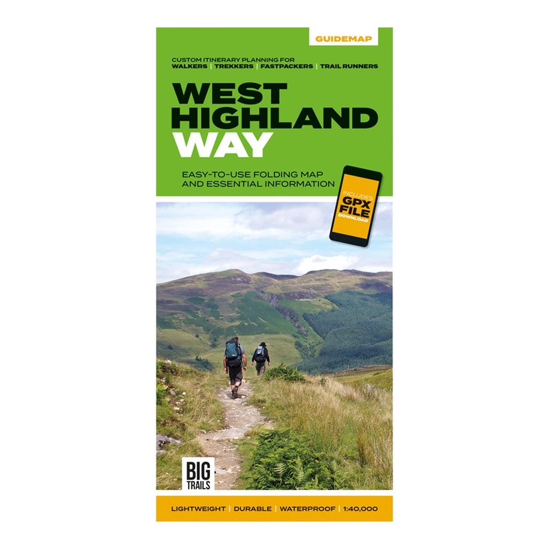
The Vertebrate Publishing Guide Map is a lightweight, waterproof and durable 1:40,000 scale map with all the essential information you need for completing the 153km West Highland Way.
The Guide Map contains elevation profiles, safety advice, terrain information and an accommodation directory of places to stay en-route. There’s also a link to a GPX file download to so you’ve got absolutely no excuses for getting lost! There’s also a route planner with four custom itineraries for walking, backpacking, fastpacking and trail running, so you can plan your trip to match the pace you want to take.
The West Highland Way begins in Milngavie and finishes in Fort William, taking you from the bustle of Glasgow through forests along lochs and across wild moorland. With wide panoramic views and easy-to-follow waymarkers, the West Highland Way is one of the most popular long distance walking routes in the UK.


Reviews
There are no reviews yet.